Assessing the relative accuracy of coral heights reconstructed from drones and structure from motion photogrammetry on coral reefs.
 Tools
Tools Tools
Tools
Casella, Elisa, Lewin, Pia, Ghilardi, Mattia  ORCID: https://orcid.org/0000-0001-9592-7252, Rovere, A. and Bejarano, Sonia ORCID: https://orcid.org/0000-0001-6451-6354
(2022)
Assessing the relative accuracy of coral heights reconstructed from drones and structure from motion photogrammetry on coral reefs.
Coral Reefs, 41
(4).
pp. 869-875.
DOI https://doi.org/10.1007/s00338-022-02244-9.
ORCID: https://orcid.org/0000-0001-9592-7252, Rovere, A. and Bejarano, Sonia ORCID: https://orcid.org/0000-0001-6451-6354
(2022)
Assessing the relative accuracy of coral heights reconstructed from drones and structure from motion photogrammetry on coral reefs.
Coral Reefs, 41
(4).
pp. 869-875.
DOI https://doi.org/10.1007/s00338-022-02244-9.
![[img]](http://cris.leibniz-zmt.de/style/images/fileicons/text.png) |
Text
Casella2022.pdf - Published Version Restricted to Registered users only Available under License Creative Commons: Attribution 4.0. Download (1MB) |
Abstract
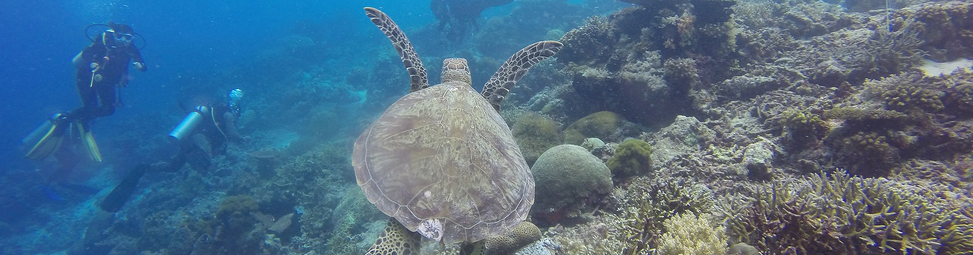
Low-altitude high-resolution aerial photographs allow for the reconstruction of structural properties of shallow coral reefs and the quantification of their topographic complexity. This study shows the scope and limitations of two-media (air/water) Structure from Motion—Multi-View Stereo reconstruction method using drone aerial photographs to reconstruct coral height. We apply this method in nine different sites covering a total area of about 7000 m2, and we examine the suitability of the method to obtain topographic complexity estimates (i.e., seafloor rugosity). A simple refraction correction and survey design allowed reaching a root mean square error of 0.1 m for the generated digital models of the seafloor (without the refraction correction the root mean square error was 0.2 m). We find that the complexity of the seafloor extracted from the drone digital models is slightly underestimated compared to the one measured with a traditional in situ survey method.
| Document Type: | Article |
|---|---|
| Programme Area: | PA2 |
| Research affiliation: | Ecology > Reef Systems Infrastructure > DigiZ - Research Data Infrastructure |
| Refereed: | Yes |
| Open Access Journal?: | No |
| DOI: | https://doi.org/10.1007/s00338-022-02244-9 |
| ISSN: | 0722-4028 |
| Date Deposited: | 02 Nov 2022 16:31 |
| Last Modified: | 26 Mar 2024 13:31 |
| URI: | https://cris.leibniz-zmt.de/id/eprint/5047 |
Actions (login required)
 |
View Item |